HcM
Digital research portal and cartographic historical archive specializing in geopolitical evolution, institutional statecraft, and spatial pop-culture analysis.
HNL
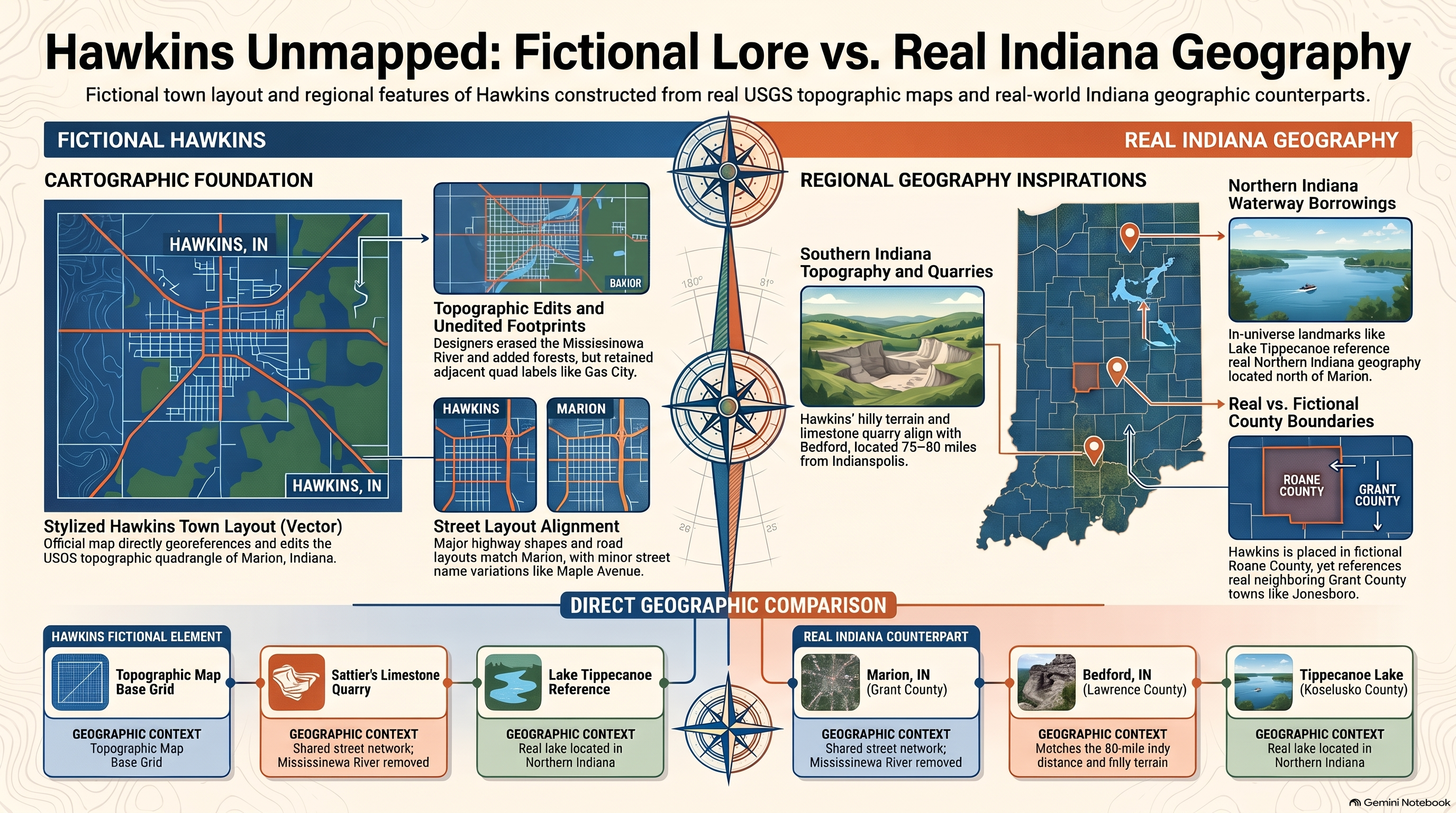
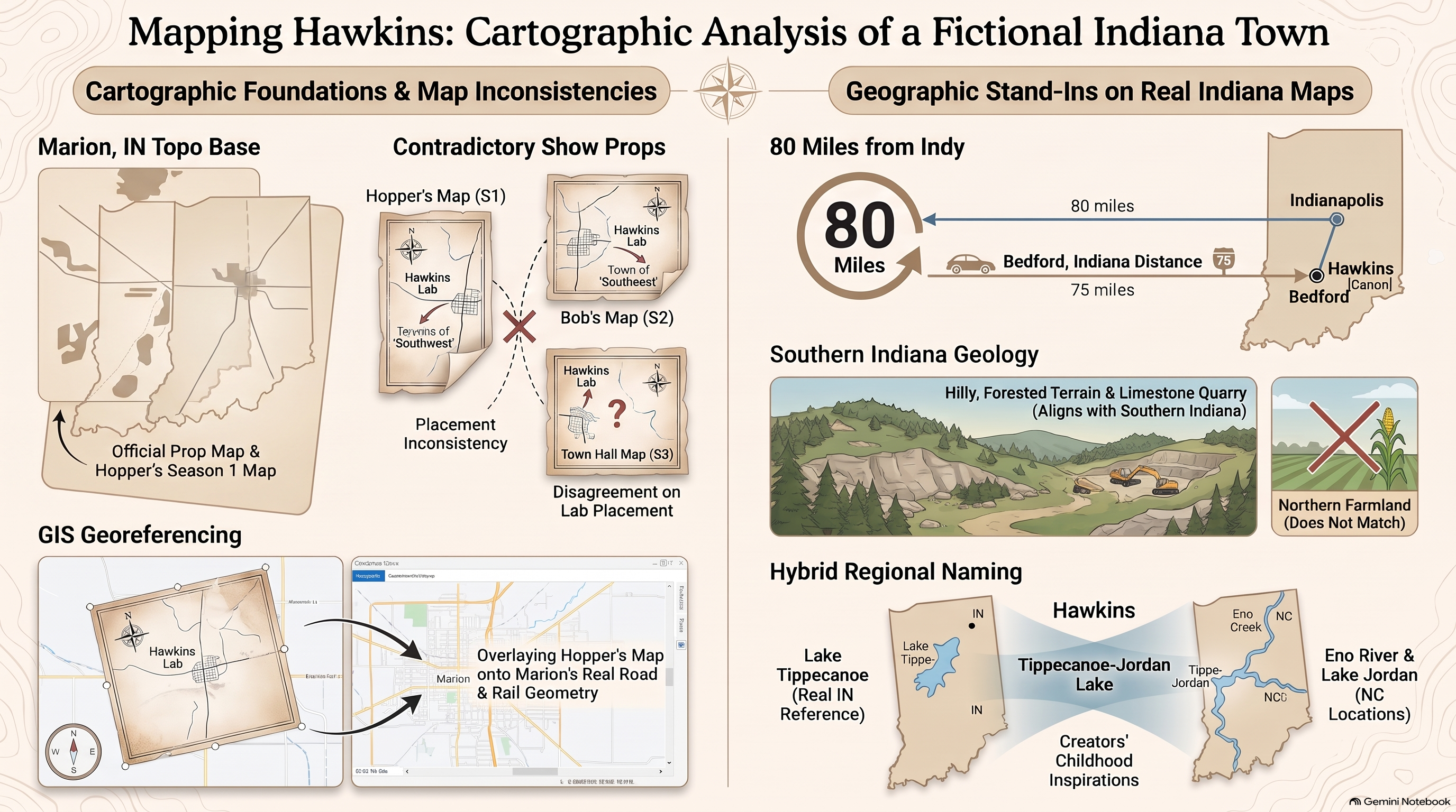
Hawkins National Laboratory; classified federal energy and defense research facility in Roane County conducting subterranean dimensional experimentation.
DOE
United States Department of Energy; federal executive department exercising primary security and administrative oversight over Hawkins National Laboratory.
Upside Down
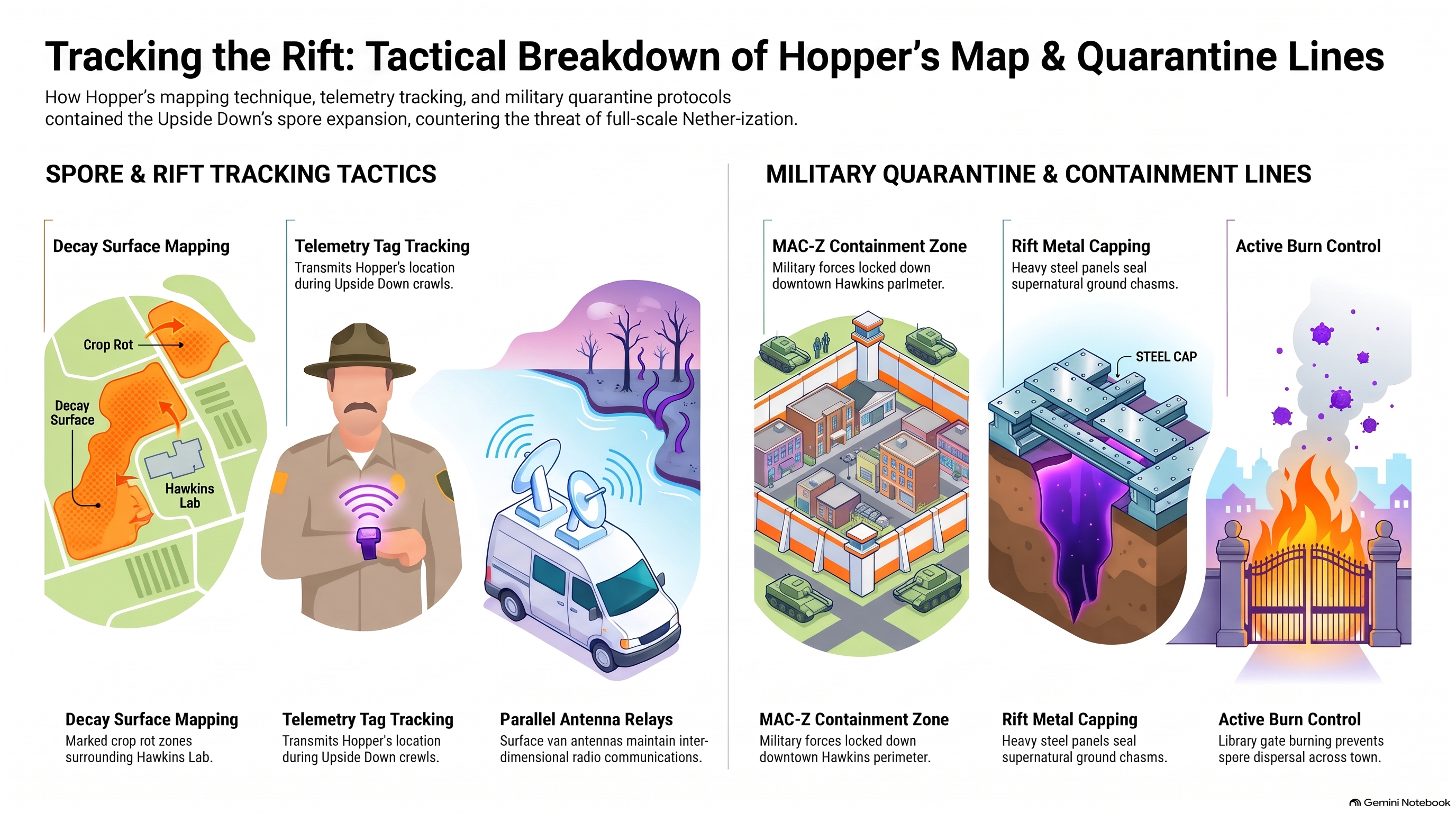
Parallel topological dimension featuring an exact 1:1 spatial mirroring of Hawkins physical infrastructure in a decayed biological state.
Rot Vector
Directional growth path of subterranean organic spores propagating along municipal water tables and topsoil drainage channels.
Four-Gate Intersection
Cartographic rift origin point bisecting Hawkins municipal center along linear geopolitical and seismic fault lines.