Roman Empire
EN
November 2026
Roman Empire Hub
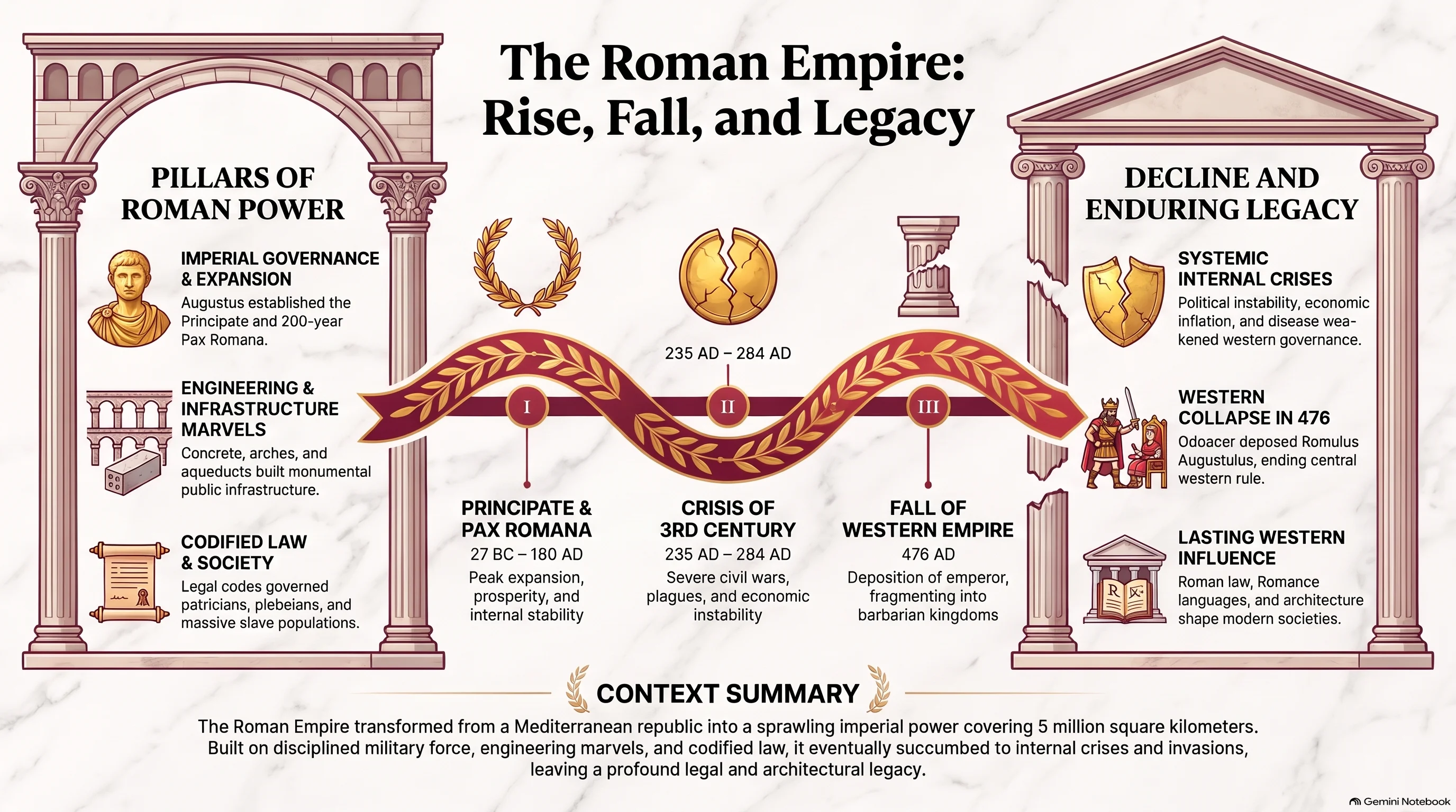
Analyze Roman imperial geopolitics, military legion deployments, provincial borders, and institutional administrative reforms.
Historical Atlases, Geopolitics & Cartography Hubs
This directory compiles comprehensive historical atlases, geopolitical analyses, and cartographic timelines detailing the rise, governance, and structural transformations of global civilizations. From Roman provincial administration and legionary deployments to Byzantine Theme military systems and medieval trade networks, each hub provides analytical cartography backed by primary sources and modern historiographical research.
Analyze Roman imperial geopolitics, military legion deployments, provincial borders, and institutional administrative reforms.
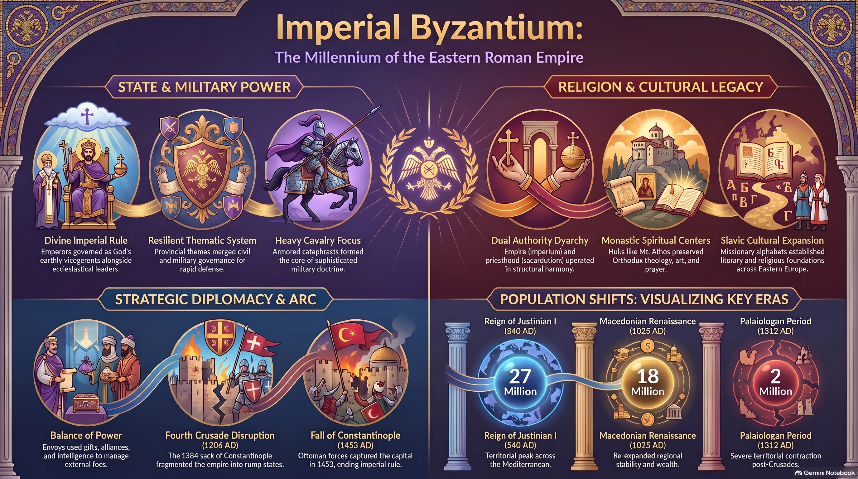
Explore HcM geopolitical maps of the Byzantine Empire, military Theme administrative systems, Constantinople naval defenses, and trade routes.
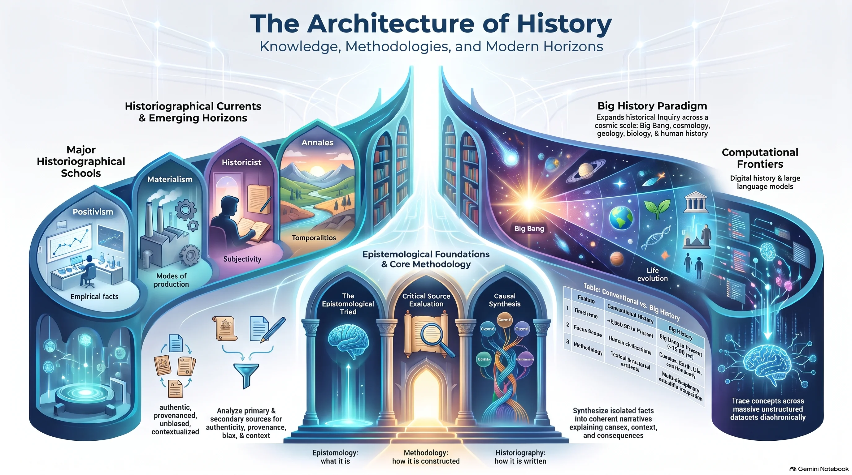
Explore HcM main cartographic divisions, historical atlases, media worldbuilding, and geopolitical archives.
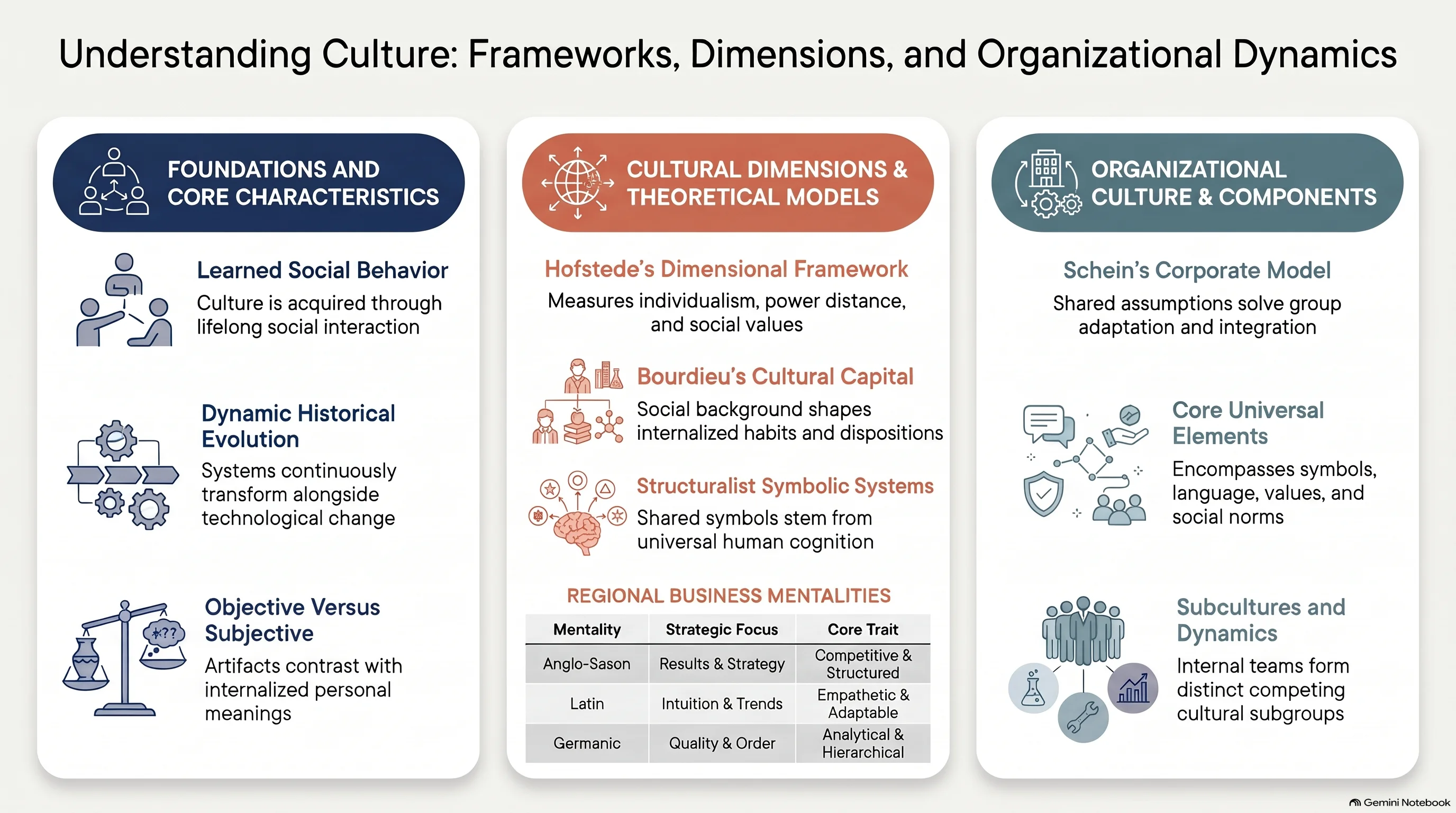
Uncover narrative cartography, fictional geography, and spatial analysis across pop culture and iconic media franchises.
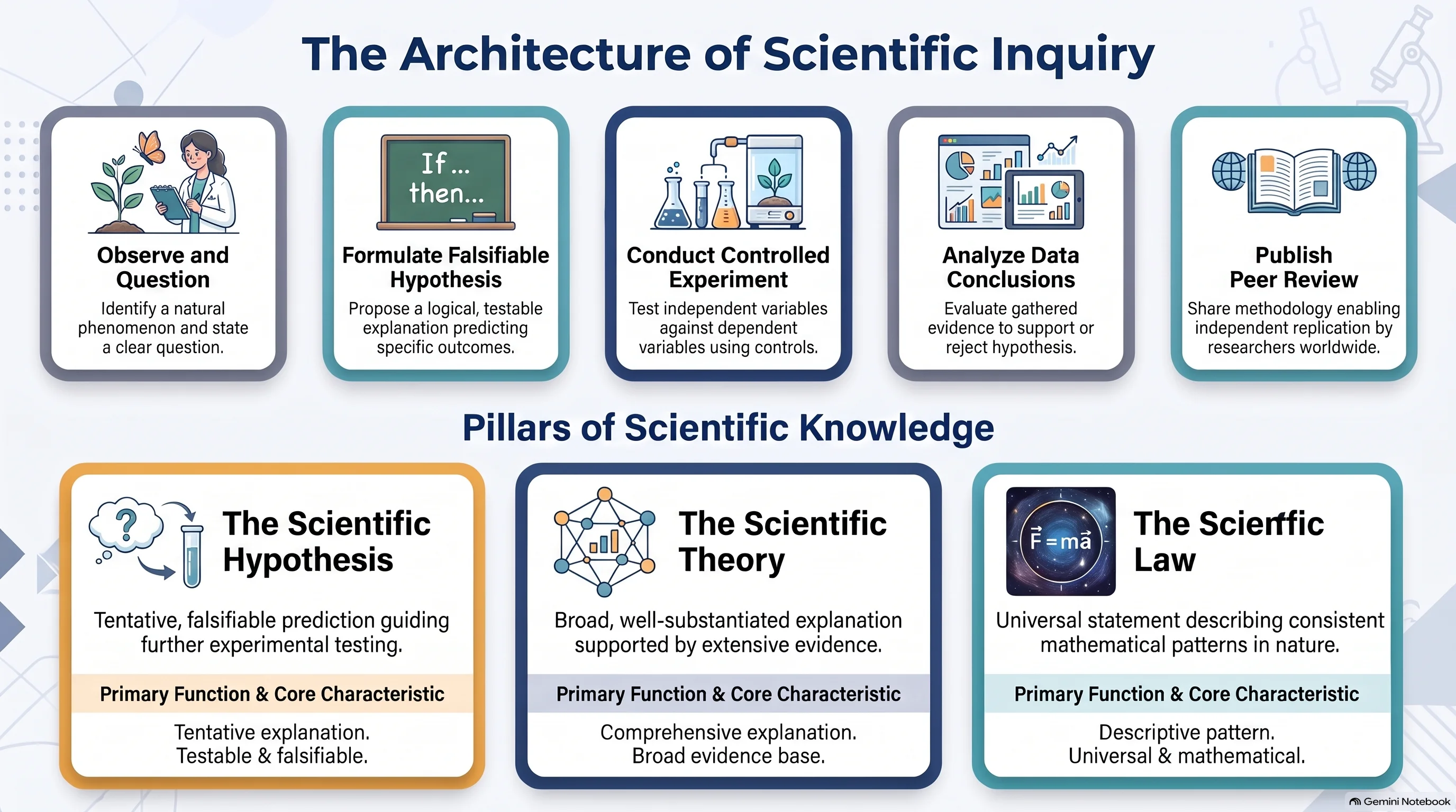
Discover scientific cartography, astronomical charts, and key milestones in earth science evolution.
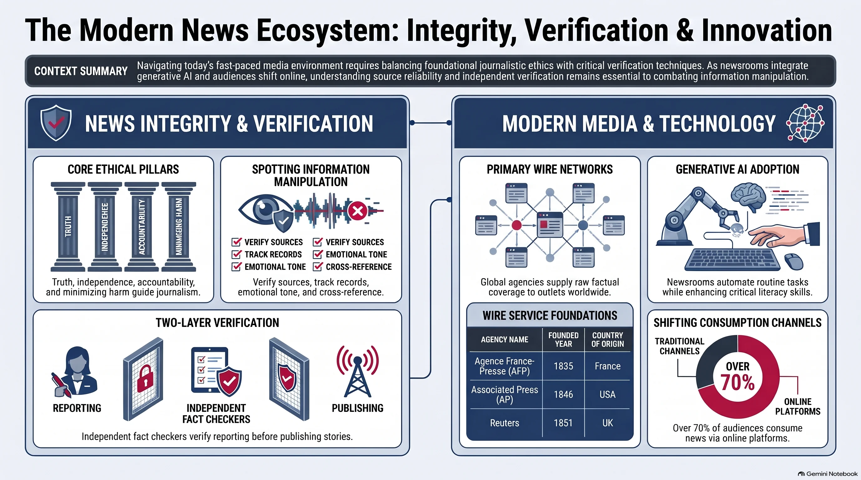
Track real-time geopolitical shifts, ongoing conflict maps, and changing territorial borders.
Key insights regarding historical cartography, imperial border evolution, and geopolitical thematic archives.
Historical borders and legionary deployments are reconstructed by cross-referencing primary documentary sources, epigraphic records, archaeological survey data, and academic historiographical consensus.
Roman provincial administration relied on a clear division between civil governors and military commanders, whereas the medieval Byzantine Theme system combined military and civil authority under a single general (Strategos) to rapidly defend against external invasions.
HcM covers classical antiquity, the expansion of the Roman Republic and Empire, the Byzantine Empire, medieval maritime routes, and global geopolitical transformations up to modern history.
All cartographic visualizations and thematic dossiers provide canonical references and structured metadata designed for educational preview, research citations, and academic analysis.